1. How Mountain Waves Form
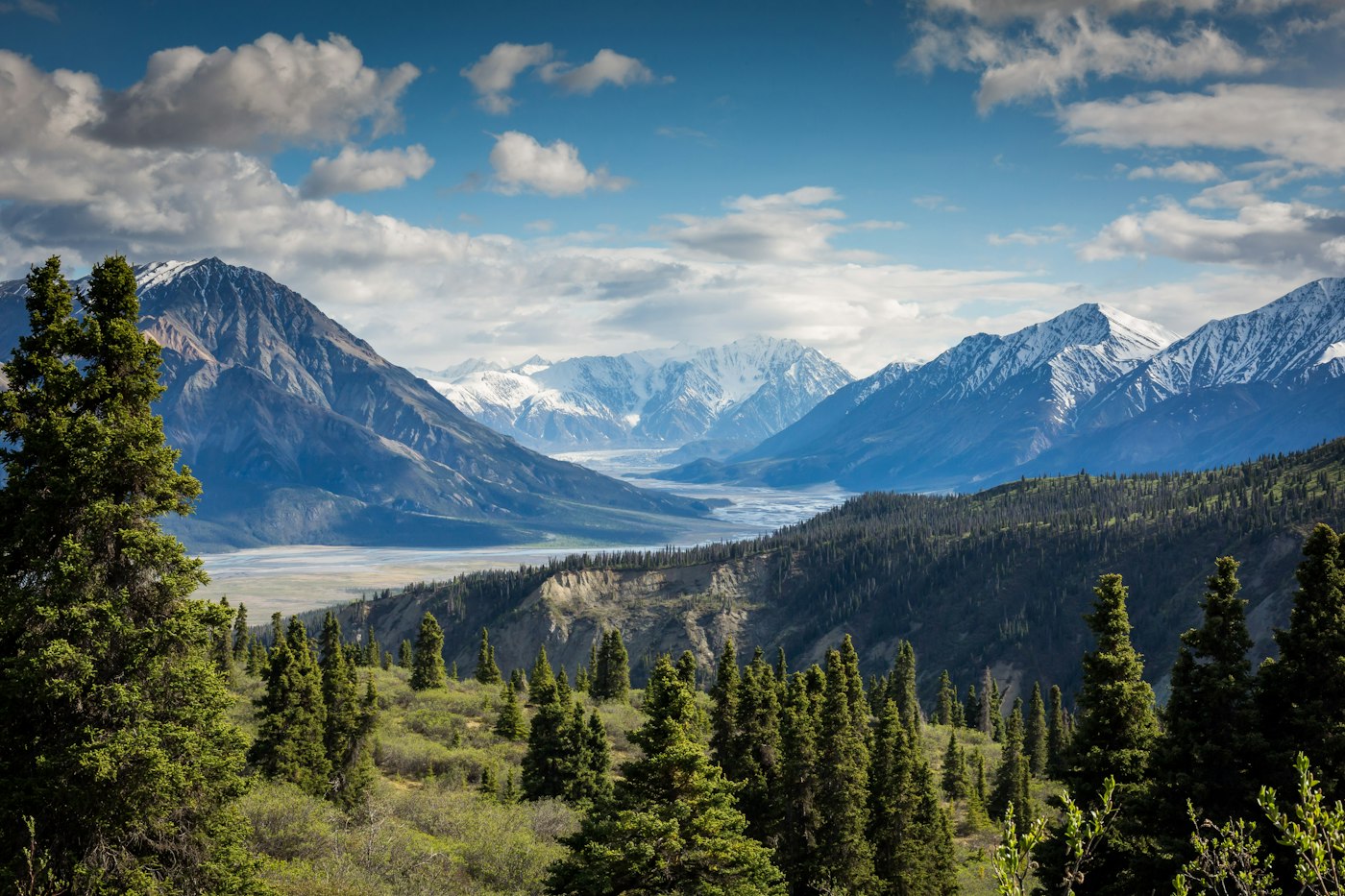
When a stable air mass flows over a mountain range, the air on the far side of the ridge can oscillate up and down in a series of waves. These are called lee waves or mountain waves. They form most often when a strong wind blows across the ridge, at a steep angle to it, and the air at mountain height is stable. The wind strength often changes with height, which affects how strong the waves become.
Mountain waves can extend far downwind, sometimes many kilometres from the ridge, and the strongest turbulence is often found near the ground on the lee side, in the rotor zone beneath the wave crests.
2. Warning Signs and Their Limits
Lenticular clouds, which are smooth, lens-shaped clouds often stacked above a ridge, are a common visual sign that waves are present. Rotor clouds, which look ragged and sit low on the lee side, can indicate turbulent rotor zones. These signs are useful, but they are not reliable on their own. Waves can exist without visible clouds, and clear-air turbulence in the lee of a mountain can be severe and invisible.
Common indicators of mountain wave activity
| Indicator | What it may suggest | Important caution |
|---|---|---|
| Strong wind across a ridge | Possible wave development on the lee side | Wind alone does not confirm waves, and strength varies with altitude |
| Lenticular clouds | Waves are probably present in the area | Their absence does not mean the air is smooth |
| Ragged rotor clouds low on the lee side | Turbulent rotor zone likely below | Rotor turbulence can be severe near the ground |
| Pilot reports of turbulence | Current conditions in the area | Reports are a snapshot and can change quickly |
3. The Hazards
Mountain wave turbulence can include strong, rapid vertical gusts, rotor zones with severe turbulence that can exceed an aircraft's structural load limits and overpower its climb performance, sudden downdrafts that can exceed the climb capability of an aircraft, and abrupt changes in airspeed and altitude. Downdrafts are particularly dangerous close to terrain, where there is little room to recover. Wave activity can also cause rapid changes in pressure altitude, which may affect altimeter readings and clearance from the ground.
Pilots treat mountain wave flying with caution for two main reasons: the aircraft can be overstressed by severe gusts, and it can be pushed beyond its ability to climb or hold airspeed, leading to loss of control or contact with terrain.
4. Alpine Wind and Terrain Cautions
In European mountain airspace, keep a generous buffer from ridges and terrain, both laterally and in height. Wind that is light in the valley can be strong at ridge height, and the aircraft can be carried toward terrain by a downdraft it did not expect. Treat lenticular clouds as a hard warning sign, not a comfort, and remember that they are only one of several indicators.
Plan a crosswind and ridge-clearance margin before departure, and decide in advance at which point the flight will be abandoned. If the route requires a crossing that is not clearly safe, choose another route or another day.
5. Planning and Decision Making
Check the official forecasts and the available turbulence information for the route before flying, including forecast wind at the ridge height and at higher levels. Consider whether the planned route crosses the ridge and whether a lower-risk alternative exists. Have a clear plan for turning back, including an escape route away from the lee side of terrain.
In flight, follow the turbulence penetration speed and procedures in the aircraft's Pilot's Operating Handbook, keep seatbelts fastened, and do not rely on the autopilot to handle severe conditions. If conditions are worse than expected, change direction or altitude early, while there is still room to do so.
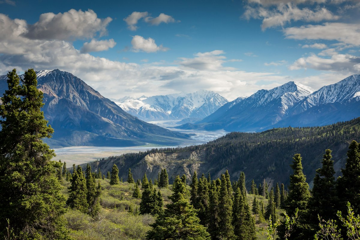
Mountain terrain can generate wave and rotor activity downwind of the ridge, often where the sky looks calmest.
Continue Reading
- Density Altitude and Aircraft Performance How temperature and altitude change takeoff roll and climb performance.
- Supercooled Liquid Water (SLW) How supercooled droplets freeze on an airframe and why ice changes lift and drag.